
Frederickson ZIP Coverage Crosswalk
A Frederickson Advisory Commission analysis used three ZIP areas when studying the community. Those combined postal zones extend beyond the Frederickson Community Plan. The table therefore describes overlap and nearby context, not exclusive Frederickson territory. No official source reviewed established a Frederickson-only post office, PO-box-only ZIP, or unique institutional ZIP.
| ZIP | Area context | Postal identity | Research caution |
|---|---|---|---|
| 98375 | South Hill context and part of the commission’s study geography | Verify the full address through USPS | Not exclusive to Frederickson |
| 98387 | Spanaway context and part of the commission’s study geography | Verify the full address through USPS | Not exclusive to Frederickson |
| 98446 | Summit-Waller context and part of the commission’s study geography | Verify the full address through USPS | Not exclusive to Frederickson |
These codes are useful filters. They are poor stand-ins for city limits because Frederickson is not incorporated. A record might use Spanaway, South Hill, Summit-Waller, Tacoma, Puyallup, Clover Creek, or a county road label even when the site is locally understood as Frederickson. Save the original wording before normalizing it.
Frederickson Has Three Boundary Tests
The census-designated place, county community-plan area, and USPS delivery geography answer different questions. Census geography supports population facts. The plan area organizes land-use policy and local planning. USPS assigns a mail route and preferred address wording. None should silently replace the others in a resident search.
The Pierce County Frederickson community-plan page provides the official planning context and map resources.
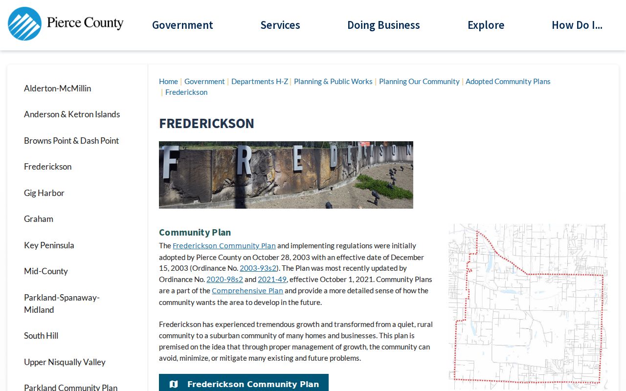
The captured page is evidence for the planning layer, not a postal boundary. Pair it with an address-level USPS result and a dated county parcel map when exact location matters.
Frederickson Population Is Not ZIP Population
The 2020 Census counted 24,906 people and 8,268 residential units in the Frederickson CDP. The 2010 CDP count was 18,719. Those figures belong to the census boundary. They cannot be divided among 98375, 98387, and 98446 from the sources reviewed, and they should not be presented as totals for those ZIP areas.
This is a useful numbers check. If a ZIP-based count exceeds or differs from the CDP count, the result may still be valid for its postal geography. It simply measures a larger or different area. Always label the boundary, source year, and unit counted.
Verify a Frederickson ZIP With USPS
The official USPS lookup is the right source for current postal wording. Its modes accept a full address, a city and state, or a ZIP. A successful ZIP result confirms postal routing data. USPS warns that the tool does not confirm that a person or company is located at the address.
| Lookup mode | Input | Useful result | Limit |
|---|---|---|---|
| By address | Street line, city, state | Current ZIP and standardized postal form | Does not identify an occupant |
| By city and state | Place name and Washington | ZIP codes associated with that postal city | Does not draw the Frederickson plan line |
| By ZIP | Five-digit code | Associated postal city information | Does not prove CDP membership |
Use the USPS ZIP Code Lookup before filtering other records. Copy the result date and full standardized line. If an old source differs, keep both forms instead of overwriting the historical address.
Narrow Frederickson Residents by ZIP
A ZIP code directory can narrow a large set, but the verified Pierce County tools remain address-, parcel-, name-, or request-led. The research did not confirm a working ZIP-wide filter in ATIP, and PublicGIS documents site-address, intersection, parcel-number, and place-of-interest searches rather than a resident list by ZIP. Do not claim a filter that the live portal has not shown.
- Run the full address through USPS and save the standardized ZIP result.
- Search the county parcel by site address or parcel number. Label the situs and mailing addresses separately.
- Open PublicGIS for map context and record the selected parcel, active layers, legend, and map date.
- For a lawful research need involving voter-file data, use the state or Pierce County request route and state the requested geography.
- Once results narrow to a road, use the Frederickson street directory method for the address-level record chain.
VoteWA is meant for an individual voter to check registration. Broader voter-file and precinct data are governed by RCW 29A.08.710, .720, and .740 and use limits. Washington does not record party preference in its voter file. County data requests may also involve a form, fees, delivery terms, and a review period, so a ZIP search is not an instant public roster.
Frederickson Parcel and ZIP Labels
Pierce County ATIP is the assessor and sales entry point. The county says a parcel number is the best lookup key, while owner and address searches are also part of the property-search family. Exact live field requirements were not captured because the application is JavaScript-driven. PublicGIS can orient the site address, parcel, roads, and planning layers, but it is not a ZIP-resident database.
Keep the situs address apart from the mailing address. Situs means the physical location of the land. The mailing address is where tax mail goes, and it may use another city or even be outside the area. A postal mismatch is not proof of a bad parcel match. Confirm the parcel number, legal description, map location, and source date.
Normalize Frederickson Addresses Carefully
Frederickson roads often use numbered avenues and roads plus the directional suffix East. Official plan maps also name Brookdale Road East, Canyon Road East, Military Road East, Woodland Avenue East, Waller Road East, and Greenleaf Drive East. A source can omit “East,” shorten the road type, or describe a crossroad. Search both the original form and a normalized current form.
County Ordinance 84-152 is the historical anchor for the addressing grid. If an old directory or deed uses a rural route or another number, do not infer a renumbering from today’s map alone. Search the current parcel and road geometry, then ask for plats or county addressing records that link the forms. PublicGIS parcel and road-centerline updates also mean a current screen cannot reconstruct an old boundary by itself.
Frederickson Maps Change With Time
The Frederickson community plan began in 2003 and was updated in 2020-2021. County notices then marked a draft comprehensive-plan stage in October 2024, a final environmental review in November 2024, and final 2024 Comprehensive Plan effectiveness in February 2025. A January 2026 code-update notice is a proposal unless its source later says it was adopted.
These dates matter when a ZIP, zoning layer, or planning description seems inconsistent. Cite the map version used with the record date. A newer planning map may explain current policy, but it should not be projected backward onto an earlier deed, census schedule, or directory entry.
Frederickson ZIPs Versus Local Limits
Frederickson has no incorporated city limit. The central mismatch is between the three-ZIP analytical area and the smaller or differently drawn community-plan and census areas. A 98375, 98387, or 98446 result may point into South Hill, Spanaway, or Summit-Waller context without landing in the Frederickson plan. Conversely, local use of “Frederickson” may describe a place whose postal line names something else.
- ZIP and ZIP+4
- A ZIP is the five-digit delivery area. ZIP+4 adds four digits that narrow a delivery segment.
- PO-box ZIP
- A code assigned mainly or only to post-office boxes. None was verified as Frederickson-specific.
- Unique ZIP
- A code assigned to one high-volume organization. No Frederickson example was verified.
- Carrier route
- A postal delivery path within a ZIP, not a city, census, parcel, or planning boundary.
The practical crosswalk has four columns: wording in the original record, current USPS wording, Pierce County situs wording, and CDP or community-plan status. Add the date for each source. That small table is more accurate than forcing every record into a single place label.